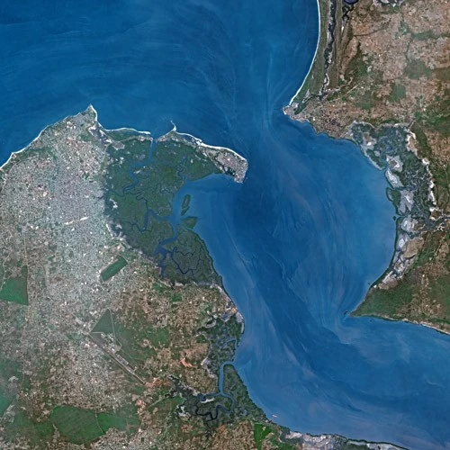
A satellite image of Banjul, Gambia.
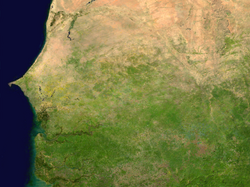
A satellite image of Gambia.
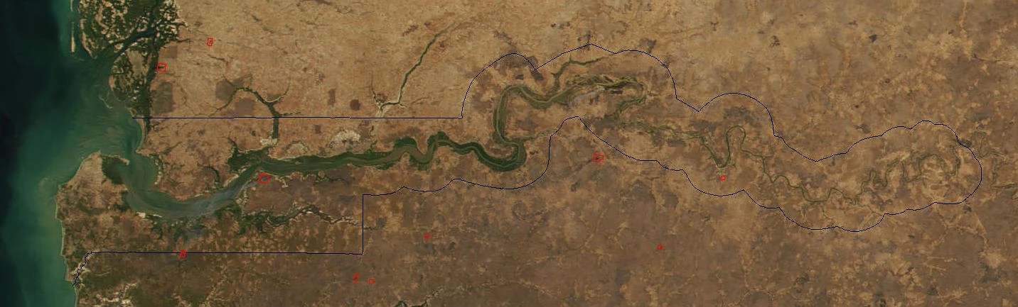
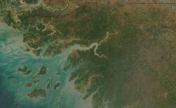
A dry season image of Senegal and Gambia.

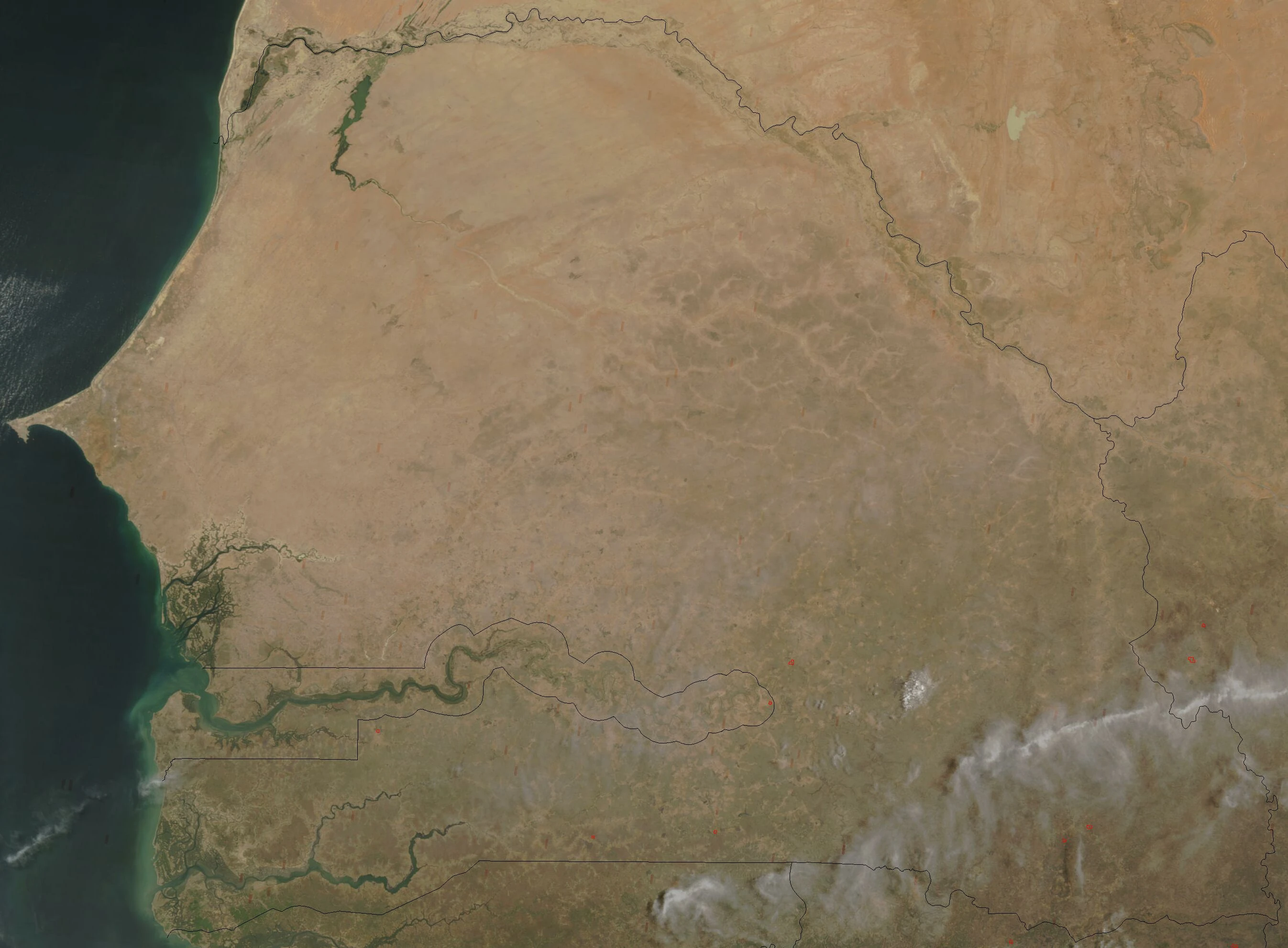
A wet season image of Senegal and Gambia.

A satellite image of Guinea-Bissau.
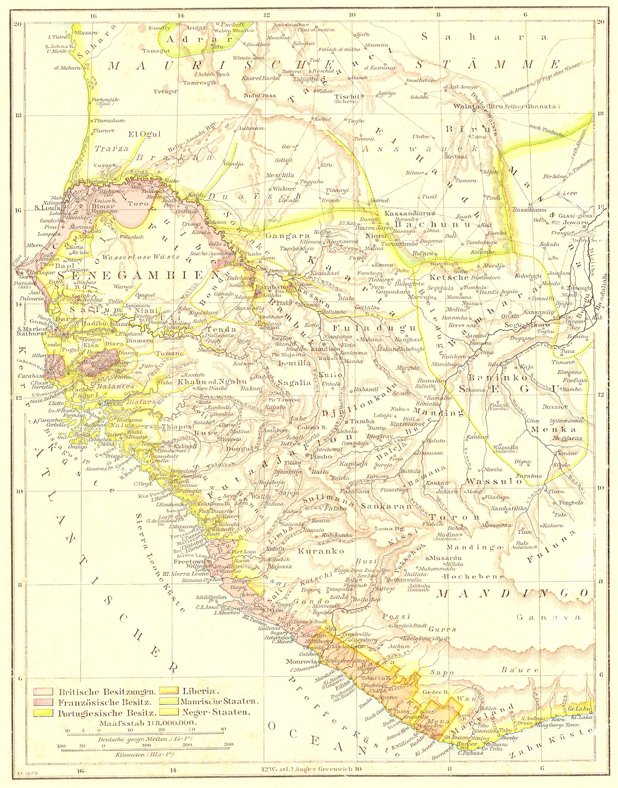
A 1881 colonial map of Gambia, Guinea Bissau, Senegal, Sierra Leonine, Liberia and the native tribal states like the Bamiko (Bamako) state.
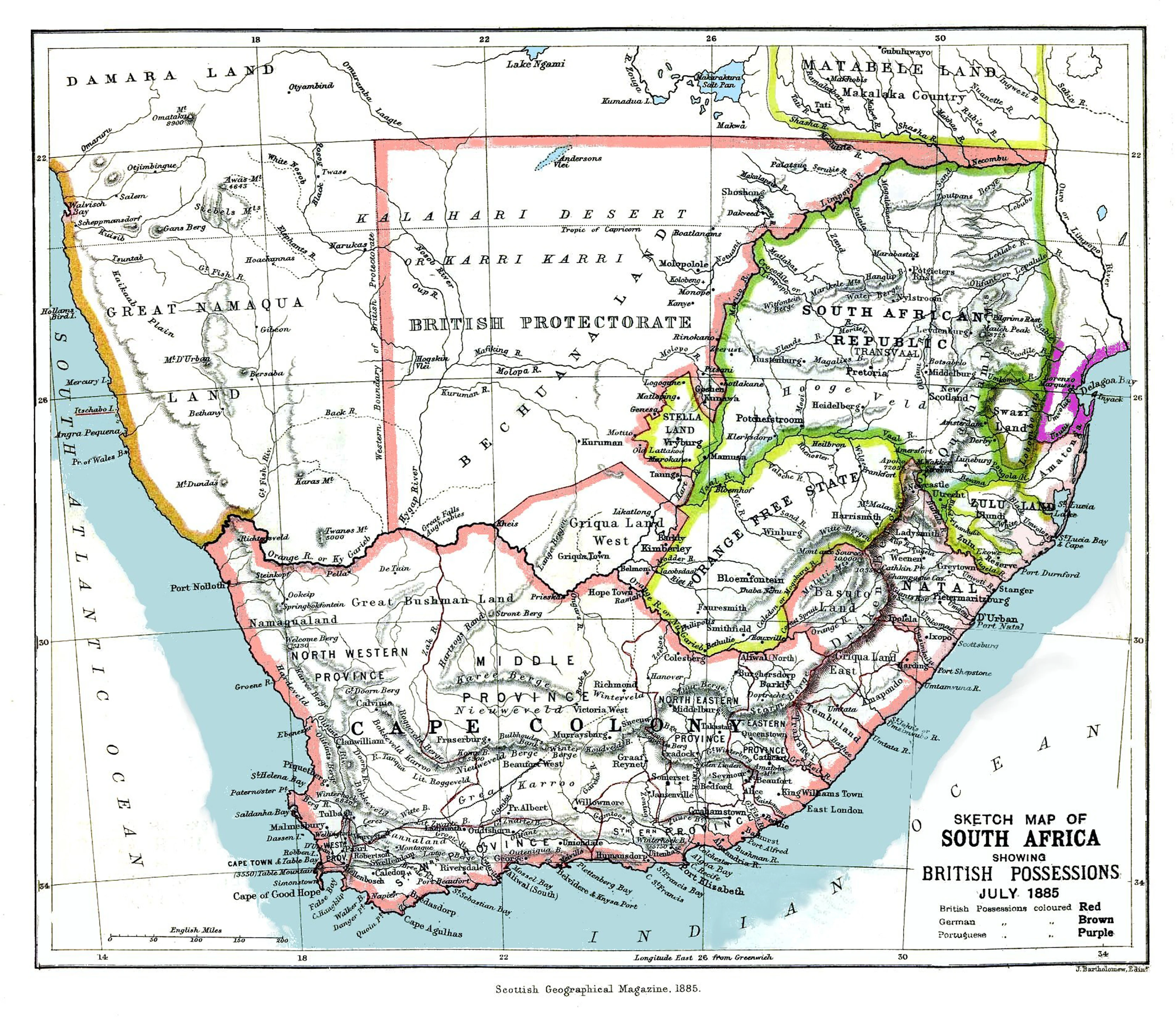
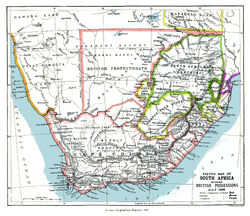
An 1885 map showing the Bechuanaland Protectorate prior to the creation of the crown colony of British Bechuanaland and the Heligoland–Zanzibar Treaty.
Links to various historic maps of Africa.[]
- http://www.zum.de/whkmla/histatlas/westafrica/haxmali.html
- http://www.lib.utexas.edu/maps/historical/history_africa.html
- http://www.lib.utexas.edu/maps/historical/africa_1890.jpg
- http://www.africafederation.net/Lunda_Tchockwe.htm
- http://www.africafederation.net/Lunda_Muatianvua_1890.jpg
- http://www.gifex.com/detail-en/2010-01-05-11631/Africa-in-1880.html
- http://www.gifex.com/images/500X0/2010-01-05-11631/Africa-in-1880.jpg
- https://commons.wikimedia.org/wiki/File:SouthAfrica1885.jpg
- http://etc.usf.edu/maps/pages/800/870/870.htm
- http://etc.usf.edu/maps/pages/000/32/32.htm
- http://etc.usf.edu/maps/pages/7300/7338/7338.pdf
- http://etc.usf.edu/maps/pages/7600/7638/7638.htm
- http://etc.usf.edu/maps/pages/7600/7638/7638.htm
- http://etc.usf.edu/maps/pages/7600/7638/7638.htm
- http://etc.usf.edu/maps/pages/6700/6741/6741.htm
- http://etc.usf.edu/maps/pages/6700/6741/6741z.htm
- http://etc.usf.edu/maps/pages/6700/6741/6741.htm
- http://etc.usf.edu/maps/pages/5300/5338/5338.htm
- http://etc.usf.edu/maps/pages/4800/4873/4873.htm
- http://etc.usf.edu/maps/pages/7400/7481/7481.htm
- http://www.globalsecurity.org/military/world/war/images/africa_1890.jpg
- http://www.emersonkent.com/map_archive/world_map_1700_1763.htm
- https:://cbertel.files.wordpress.com/2009/09/africa-colonial-map.jpg
- http://www.britishempire.co.uk/images4/africa1885map.jpg
- https:://i0.wp.com/dexterrobinson.com/wp-content/uploads/2016/12/cropped-Scramble-for-Africa-1880-1913.jpg
- https://commons.wikimedia.org/wiki/File:1827_Finley_Map_of_Africa_-_Geographicus_-_Africa-finley-1827.jpg
- https:://userscontent2.emaze.com/images/67f976c4-033e-4991-bf8f-a17e64301fb8/22f43d3c52ad1cb92c9a089377e06a68.jpg
- https://dexterrobinson.com/africa-before-scramble-for-africa/
- http://www.globalsecurity.org/military/world/war/images/africa_1890.jpg
- http://en.wikipedia.org/wiki/File:Territorial_growth_of_Libya_during_the_Italian_period.jpg
- http://www.globalsecurity.org/military/world/war/scramble-for-africa-maps-2.htm
- http://www.globalsecurity.org/military/world/war/images/map-1625.jpg
- https://en.wikipedia.org/wiki/Voulet%E2%80%93Chanoine_Mission
- https://dexterrobinson.com/africa-before-scramble-for-africa/
- https://en.wikipedia.org/wiki/Scramble_for_Africa
- https://commons.wikimedia.org/wiki/File:Scramble-for-Africa-1880-1913.png
- https://dexterrobinson.com/africa-before-scramble-for-africa/
- http://www.zum.de/whkmla/histatlas/westafrica/haxmali.html
- http://www.lib.utexas.edu/maps/historical/history_africa.html
- http://www.lib.utexas.edu/maps/historical/africa_1890.jpg
- http://www.africafederation.net/Lunda_Tchockwe.htm
- http://www.africafederation.net/Lunda_Muatianvua_1890.jpg
- http://www.gifex.com/detail-en/2010-01-05-11631/Africa-in-1880.html
- http://www.gifex.com/images/500X0/2010-01-05-11631/Africa-in-1880.jpg
Also see[]
- OTL
- [1]
- 1880's-1910's Brazilian notes.
- Atomic warfare information notes.
- Estonia did have a submarine in 1937!
- How Governments become Authoritarian
- Lithuanian did have a navy, army air-force and natural resources in 1933!
- Minerals and fuel in central Africa
- Nations and vassal states of 1490-1500
- Nations in 1988
- Nations in 1991
- OTL Decolonisation notes
- OTL Natural disasters
- The O.T.L. Operation High Jump conspiracy theory
- Today's OTL types of economies, societies and regimes
- UK and Commonwealth OTL troop numbers in WW1
- UK and Commonwealth OTL troop numbers in WW2
- UK OTL atomic reactors in 1962
- What is a coup d'état?
- Why the USSR broke up in reality
- [2]
- African slavery links